Security●●●Banger
TapMap – Visualize active internet connections on a world map
Real-time world map of your connections makes invisible network activity visible.
Rabbit HoleEye CandyCrowd Pleaser
olalie
101mo ago
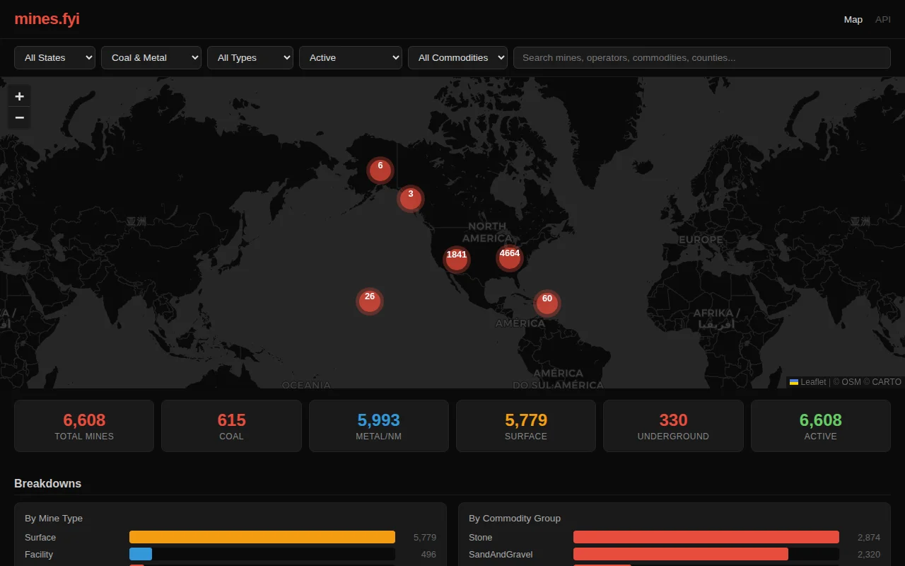
Mines.fyi layers public MSHA data into a searchable, filterable map.
Mining analysts, journalists, regulators, researchers studying resource extraction.
OpenStreetMap Overpass · Google My Maps · Tableau Public dashboards
Real-time world map of your connections makes invisible network activity visible.
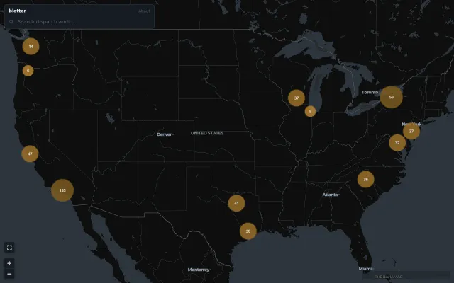
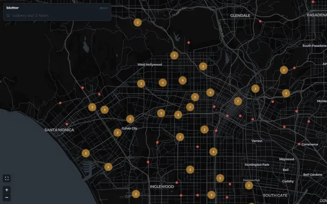
Real-time police dispatch map with searchable audio feeds across the US.
Yet another event aggregator with no automated data ingestion.
Clean crime map but Citizen and SpotCrime already do this with more data.
Three.js renders real GPT-2 attention patterns you can actually explore interactively.
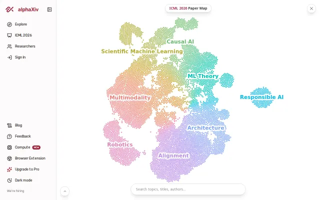
Clean paper visualization but Connected Papers and ResearchRabbit already do this better.