SaaS●●Solid
Klimly – multi-model weather with uncertainty and activity insights
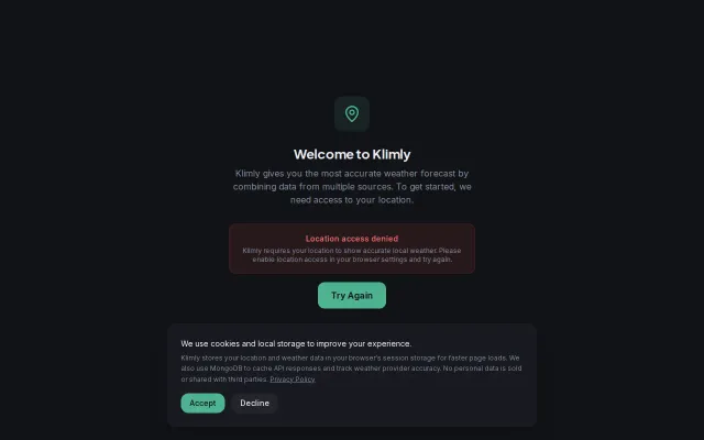
Multi-model consensus beats single-source forecasts, but Weather Underground and NOAA already do this.
Solve My ProblemEye Candy
ailibrarian
305mo ago

Solves aviation's most painful data problem: FAA's fragmented, slow, locked-down feeds.
Pilots, aviation app developers, flight planning tool builders
Aviation Weather Center API · FlightRadar24 API · CheckWX (weather aggregator)
Before I could build any of that, I had to build an entire data infrastructure first.
FAA airport data comes as fixed-width text files from the NASR subscription, updated on a 28-day cycle. Obstacles are a separate 56-day file with daily patches. NOTAMs require a formal application to the FAA's NMS system — staging approval, then production approval, OAuth2 token management. Weather data from aviationweather.gov comes as bulk XML cache files they'd prefer you download rather than polling their API. Airspace boundaries live behind ArcGIS REST endpoints you have to paginate through with a 10-minute timeout.
I did eventually build the flight planning app — it's fully functional. But it caused problems with a previous employer who considered it competitive, and I lost my job over it. To avoid further legal headaches, I shelved the app and pivoted to the infrastructure underneath it.
That became PreflightAPI. Everything is synced into PostgreSQL with PostGIS by Azure Functions cron jobs — no external API calls happen at request time. The API just serves from the database, so latency stays low and you're not dependent on the FAA's uptime.
What you get with one API key:
- 19,600+ US airports with runways, frequencies, and terminal procedures - Real-time METARs, TAFs, PIREPs, SIGMETs, G-AIRMETs - NOTAMs with spatial queries (by airport, radius, or route corridor) - Airspace boundaries as GeoJSON (Class B/C/D/E, restricted, MOAs, etc.) - 625k+ obstacles from FAA's Digital Obstacle file. - E6B utilities (crosswind, density altitude, wind correction, pressure altitude, TAS) - VFR navlog generation with automatic TOC/TOD waypoints, winds aloft interpolation, and fuel tracking - A composite briefing endpoint — one request returns all weather, NOTAMs, and hazards along a route
I just launched and have one paying customer. Free tier is 5,000 calls/month. Docs: https://preflightapi.io/docs
I'd appreciate feedback on the API design or what's missing or if this is something you'd find useful or interesting :)
Multi-model consensus beats single-source forecasts, but Weather Underground and NOAA already do this.
Temporal-decay algorithm weights recent pilot reports over stale data in Telegram bot.
Hobby project from a 90-country traveler — but Google Flights and Kayak cover this already.
Yet another AI newsletter when Morning Brew and The Hustle already own this.
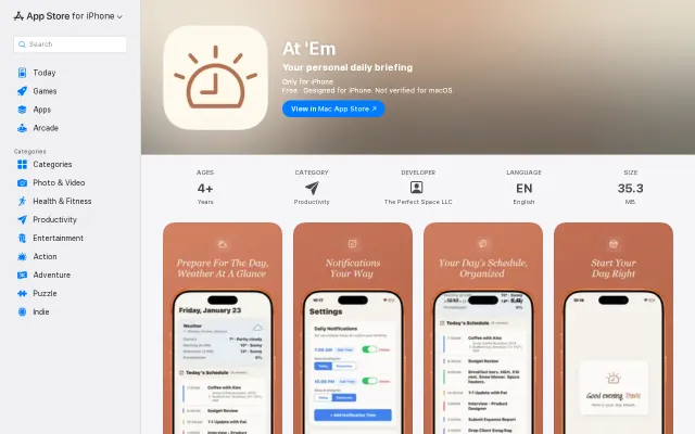
Yet another daily briefing app in a sea of calendar widgets and morning routine tools.
Beautifully themed UK aviation museum directory, but fundamentally a curated collection without technical novelty.