Developer Tools●●Solid
Interactive Marimo Moss Ball
500k interactive hair strands in WebGL, but utility stops at visual novelty.
Eye CandyWizardryCozy
ldhieu
302mo ago
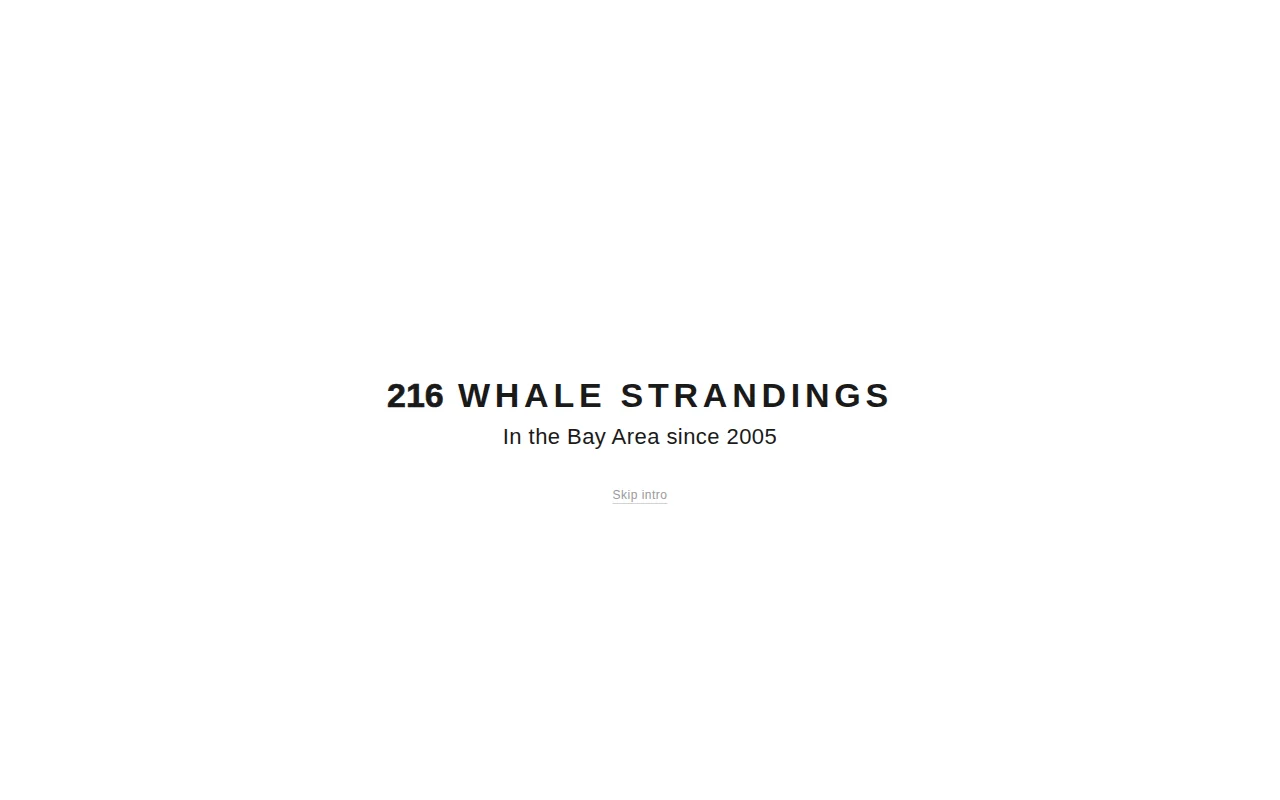
NOAA data visualized well, but Google Earth Engine already maps this.
Marine biologists, environmental researchers, Bay Area residents
Google Earth Engine · MarineCadastre.gov
I’d love feedback on the product / UX side and what would make it more useful as a public-facing data tool.
500k interactive hair strands in WebGL, but utility stops at visual novelty.
Lip-syncing fish powered by bidirectional streaming agents is peak Show HN energy.
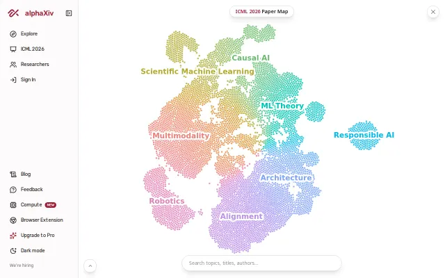
Clean paper visualization but Connected Papers and ResearchRabbit already do this better.
Real-time world map of your connections makes invisible network activity visible.
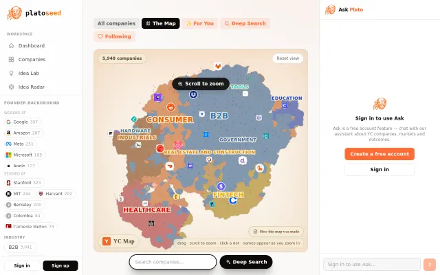
2D embedding visualization makes browsing 5000 YC companies genuinely explorable.
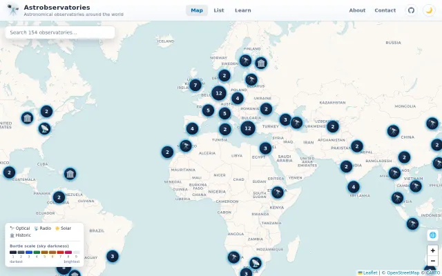
Clean Leaflet map of observatories, but Google Maps already plots these coordinates.