Developer Tools●Mid
Deploy to Vercel, Netlify, Railway, Render, Cloudflare in 1 Command
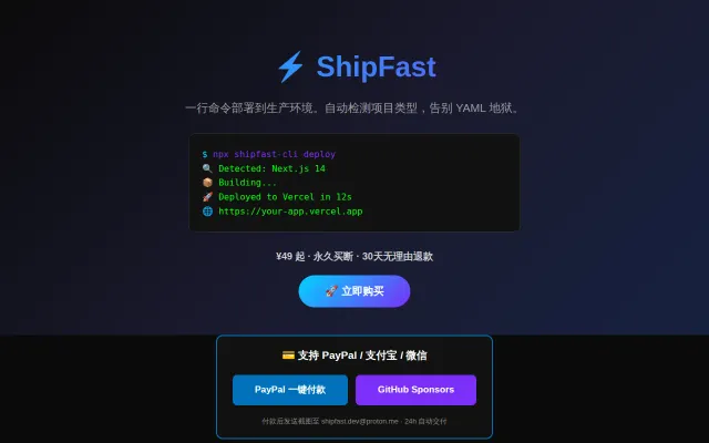
Yet another deployment CLI selling template packs in a crowded market.
Ship ItNiche Gem
shipfastai
202d ago
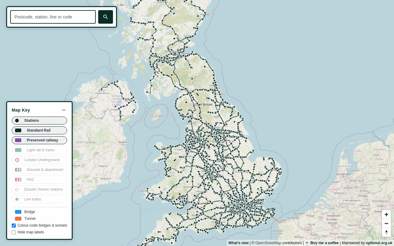
Reconciles conflicting data sources to map 6,100+ closed stations nobody else tracked.
Railway enthusiasts, local historians, transit researchers
OpenStreetMap · National Rail Enquiries
The project is built entirely on open data. Lines and current stations come from OpenStreetMap via Overpass, closed stations from Wikidata (approximately 6,100 that fall outside a 250 m radius of a live OSM station), and postcode lookups from postcodes.io. The main challenge is that the sources rarely agree with one another, or even with themselves, so much of the work involved small reconciliation rules. For example, the heritage flag is propagated across every segment sharing a line name, so the Swanage Railway is coloured consistently.
I shared an early version with a railway enthusiast community, and a large share of the fixes came from people who know the network considerably better than I do. A full write-up of the data challenges is available here: https://trainmap.co.uk/story.html
No account or app is required. You can search by postcode, station name, three-letter code, or line name. Corrections are very welcome, as there is always a station someone knows I have got wrong.
Yet another deployment CLI selling template packs in a crowded market.
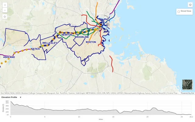
Useful for Boston Marathon weekend, but city-specific maps already exist.
Smart ID deduction saves hours of hunting down provider-specific resource strings.
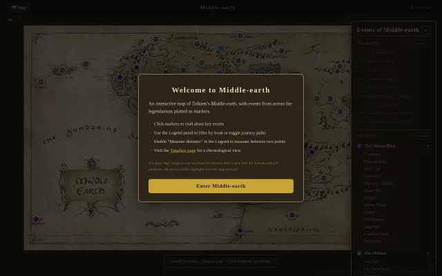
LLM-extracted lore plotted on tile-zoomed map built entirely on economy WiFi.
Swapped bloated SVG for tiled JPGs—7 zoom levels, zero runtime dependencies.
Eight years of research but it's content, not a tool — Atlas Obscura already does this.