Social●Mid
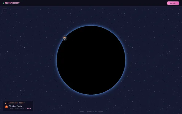
Mark your city and see where other builders are
Pretty map of where builders hang out, but unclear retention or differentiation.
Eye Candy
oyaa52
214mo ago
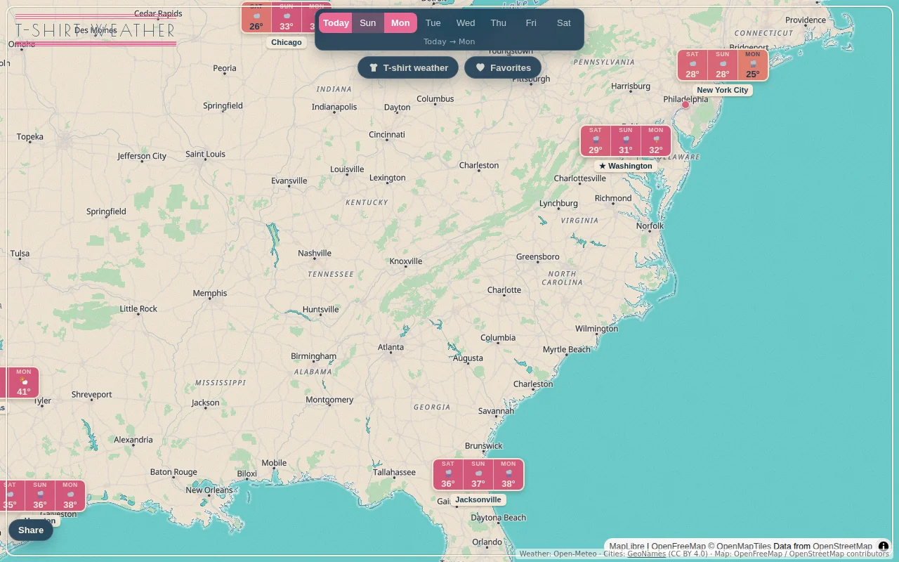
Finally a map that answers 'where can I wear shorts?' instead of just showing raw temperatures.
Travelers, remote workers, and vacation planners
Windy · Ventusky · Google Flights Explore
It's a world map of multi-day forecasts. Zoom out for capitals, zoom in and smaller cities fill in. There's a "t-shirt weather" toggle that highlights the places that are warm and dry enough for just a T-shirt. It's proven quite useful for us.
Data is from Open-Meteo, city data from GeoNames. The stack is Nuxt + MapLibre GL, with fairly heavy Redis caching so I'm not hammering Open-Meteo on every pan/zoom.
Hope someone else finds it useful. Have a great summer!
Pretty map of where builders hang out, but unclear retention or differentiation.
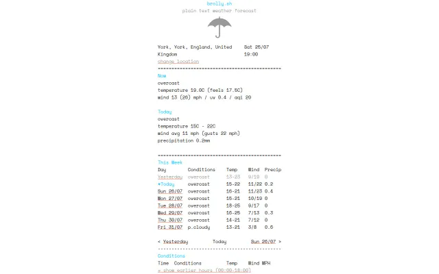
Brings back the glory days of wttr.in with a cleaner, more readable ASCII layout.
30-day network insights beat GlassWire's real-time-only approach for spotting patterns.
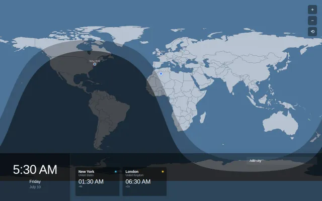
Nice twilight visualization, but timeanddate.com already does this better.
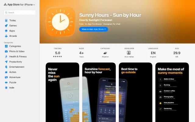
Nice sunshine heatmap UX but Apple Weather and Carrot already solve this.
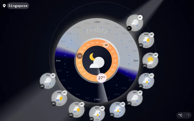
Novel radial weather UI, but Apple Weather and Carrot already do forecasts better.