Other●Mid
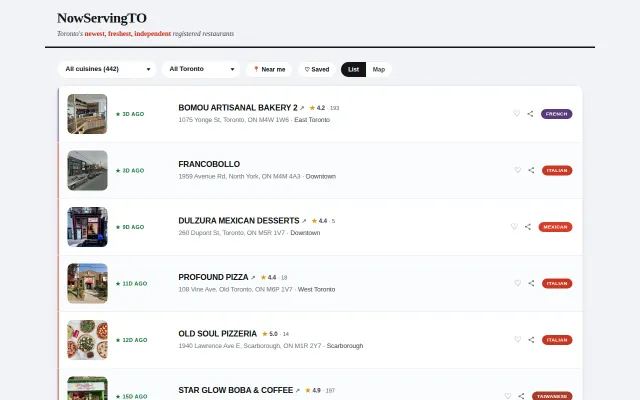
NowServingTO – Zero-DB restaurant directory using city open data
Toronto restaurant tracker pulling city open data, but Google Maps already does discovery.
Cozy
Joshua_Opolko
2012d ago
Solves a real accessibility gap Google Maps ignores, but early-stage geographic coverage limits reach.
Wheelchair users seeking accessible venues; developers building accessibility-aware apps; disability advocates
Google Maps Accessibility · ADA.gov compliance databases
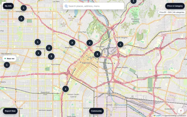
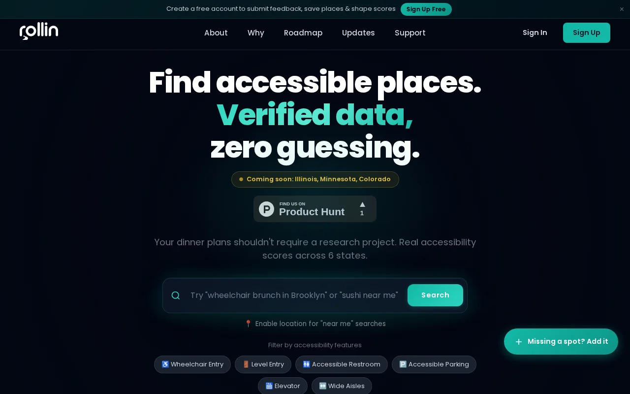
ROLLIN scores locations 0-100 across 6 features: wheelchair entry, accessible restroom, level entry, parking, wide aisles, elevator. Data pipeline pulls from OpenStreetMap, cross-references Google Places, and layers in community verification with a trust-weighted scoring system.
Stack: Vanilla JS (no frameworks), Netlify serverless, Supabase/Postgres, Leaflet maps. ~56K locations across NY, CA, FL, MA, NJ, PA.
Free to use, free API tier for developers. Paid tiers for higher volume and commercial use.
Ill be happy to answer any questions. :)https://joinrollin.com API docs: https://joinrollin.com/developers
Toronto restaurant tracker pulling city open data, but Google Maps already does discovery.
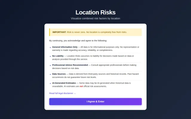
Policy preference toggles are clever, but NeighborhoodScout already does risk aggregation.
Yet another restaurant map when Google Maps and Yelp already dominate.
No-signup location chat, but Telegram and Firechat already own this crowded space.
Live Istanbul transit map is useful locally but lacks novel tech or broader appeal.
Eight years of research but it's content, not a tool — Atlas Obscura already does this.