AI/ML●Mid
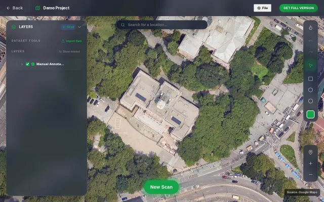
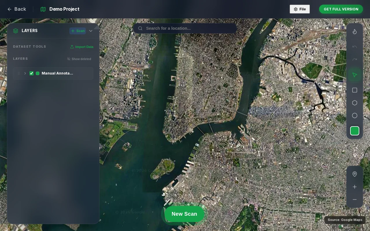
Satellite imagery object detection using text prompts
VLM-based satellite detection sounds good until you remember YOLO and specialized models handle occlusion better.
Ship ItEye Candy
eyasu6464
53233mo ago
Tile-based VLM inference with coordinate projection, but dense objects still need YOLO.
Geospatial analysts, urban planners, satellite imagery researchers
Planet Labs API · Maxar GeoTiff analysis · Google Earth Engine
VLM-based satellite detection sounds good until you remember YOLO and specialized models handle occlusion better.
Open-vocabulary object detection exporting to YOLO format without login requirements.
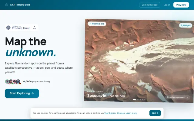
GeoGuessr clone with satellite imagery—10k players but no real differentiation.
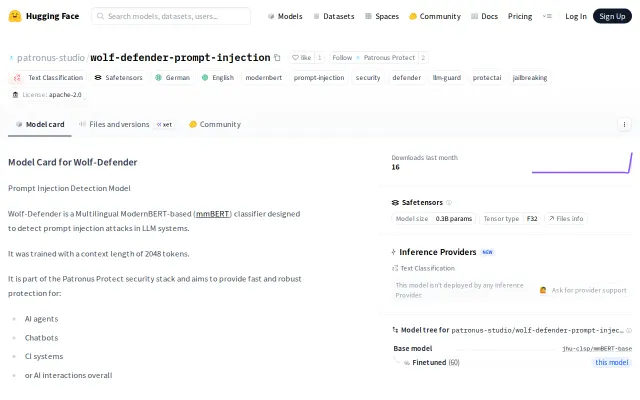
Outperforms existing open-source injection detectors on ProtectAI and Qualifire benchmarks.
Treats object cycles and shared refs as schema contracts instead of manual ID stitching.
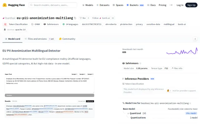
Native multilingual training covers GDPR Article 9 categories others skip.