Other●●●Banger
Topo maps and Meshtastic mesh networking in MGRS navigator
Wrote a protobuf encoder from scratch to integrate Meshtastic with no React Native SDK.
WizardryNiche Gem
redgridtactical
303mo ago
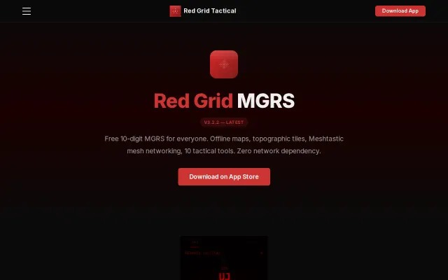
DAGR-class MGRS navigator for iOS and Android — live 10-digit grid coordinates, 10 tactical tools, offline maps, Meshtastic mesh networking, 6 radio-ready report templates. Open source. No tracking. Free on the App Store and Google Play.
Replaces $2,500 DAGR hardware with free open-source iPhone app.
Military personnel, search and rescue, outdoor navigators
DAGR AN/PSN-13 · Land Nav apps · Tactical GPS tools
React Native / Expo, ~15k lines of JS, fully offline, zero tracking. Location data never leaves memory.
Free on the App Store with an optional $9.99 Pro upgrade. Would love feedback on the UX, the MGRS math, or anything else — still actively developing.
Wrote a protobuf encoder from scratch to integrate Meshtastic with no React Native SDK.
Terrain contour matching on consumer hardware using barometer elevation profiles is clever.
Scroll and nav sync across devices beats manual mobile testing workflows.
Bluetooth team tracking with CRDT sync when Garmin and ATAK need servers.
Conversation branching and navigation beats Claude Code's linear chat model.
Call graph traversal for LLMs cuts token usage vs. iterative grep and file reads.