Productivity●Mid
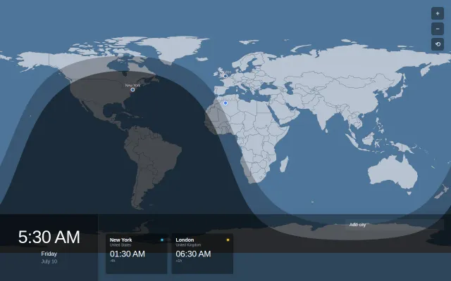
World Clock with Twilight/Night Overlayed on Map
Nice twilight visualization, but timeanddate.com already does this better.
Eye Candy
plun9
1019d ago
Overlay web map tiles (OSM, aerial, custom XYZ) onto Autodesk APS Viewer as a camera-synced 3D ground plane. Handles coordinate transforms, frustum calculation, tile stitching, and caching.
Coordinate transform pipeline from Revit to WGS84 that Autodesk's own viewer doesn't provide.
Civil engineers, BIM managers, infrastructure developers using Autodesk Viewer
Autodesk Forge Viewer extensions · CesiumJS · Mapbox GL JS
We manage infrastructure using BIM models in Autodesk Viewer. We needed to show aerial imagery and street maps underneath the 3D models, synced to the camera in real-time, so that we can give some context to the shown infrastructure.
The hard part: coordinate transforms. A Revit model's internal coordinates are in feet, rotated, translated, and offset from a local CRS projection, which itself needs to be converted from WGS84. The library ray-casts the camera frustum onto a ground plane, converts the hit points to lon/lat, determines which XYZ tiles to fetch, stitches them into a canvas, and maps the result onto a THREE.js plane, all updating on camera change. ~500 lines of JavaScript, MIT license, one peer dependency (proj4).
We would love to hear community feedback! The reason we decided to open-source is quite common: we couldn't find something similar to this that would not require a significant change to our workflow.
Hope others will find benefit from this library.
Nice twilight visualization, but timeanddate.com already does this better.
ASCII cartography with live aircraft data is fun, but ultimately a novelty like terminal Google Maps.
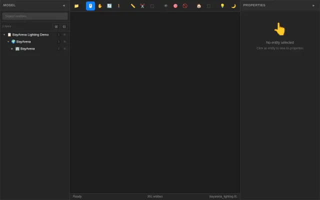
Pure Rust WASM viewer beats C++ incumbents—photometric lighting from IFC geometry is genuinely novel.
Drag-and-drop workspace switching from a HUD for AeroSpace tiling WM.
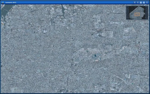
Beautiful isometric snow effect, but it's a visual novelty—art project, not a tool or product.
Reveals IPC stalls per core when htop just shows green usage bars.