Other●Mid
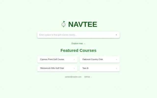
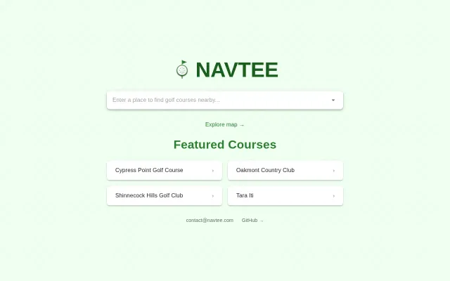
Navtee – Golf course directory and navigation app
Golf course navigator built on OpenStreetMap—clean UX, narrow audience.
Eye Candy
metafarer
103mo ago
Removes Python barrier but lacks the topographical slope data of the original.
Amateur golfers, course managers, weekend hackers
GolfShot · 18Birdies · hacker-yardage
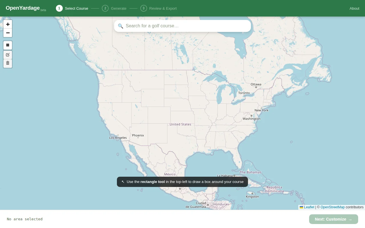
I'd originally written a Python tool a few years ago that pulled data from OpenStreetMap, auto-calculated relevant distances, and then created imagery for a yardage book. If you want to see the original, it's here: https://github.com/npilk/hacker-yardage
But Python was a pretty big technical barrier for most casual golfers. Then recently I realized most of the same functionality could be bundled into a JS app. Claude did most of the port for me.
The result is OpenYardage. You can search for a golf course and the tool will auto-generate a yardage book for you.
I'd welcome any feedback or ideas! The Python version still has some features I haven't been able to port yet, the main one being topographical data to visualize slopes.
The source is available here: https://github.com/npilk/openyardage-web
Golf course navigator built on OpenStreetMap—clean UX, narrow audience.
OpenStreetMap golf directory when GolfPass and Google Maps already exist.
PostgreSQL-native RAG without external vector databases—smart consolidation, not novel architecture.
Built for 60 books/year club—too niche; Readwise and Apple Books handle annotations already.
Pyodide runs code locally—zero server costs, open to cheating but fun.
Daily Wordle mechanic applied to 3D mini golf with physics-based putting.