Social●Mid
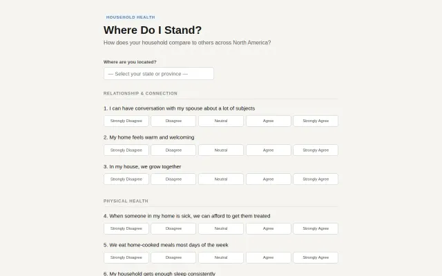
Where do I stand? – Household Health
Simple household survey with local-only storage and math puzzle gate.
CozyCrowd Pleaser
vgrocha
201mo ago
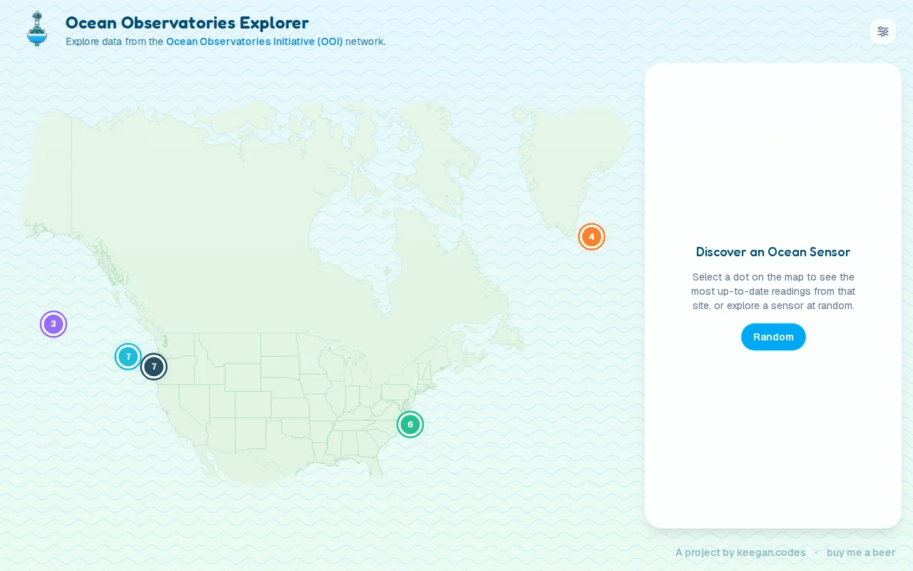
Clean map wrapper around public OOI sensor data with random discovery button.
Researchers and curious users exploring ocean sensor data
Simple household survey with local-only storage and math puzzle gate.
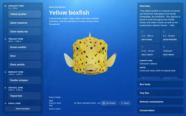
AI-generated 3D ocean creatures with depth-zone organization, but models have visible flaws.
Eight years of research but it's content, not a tool — Atlas Obscura already does this.
Forty-year dev cleaning up AI-generated code is the real story behind this one.
It actually parses vector tiles and renders a searchable, pannable ASCII map — not just an image dump. Useful touches like street-name toggles, aspect-ratio adjustment, and a single-homebrew install make it feel like a lovingly crafted hacker tool; still mostly a novelty, but technically neat and fun to poke at.
Civilization backup protocol with three-pillar architecture; no technical substance or runnable code.