Social●Mid

Matching people based on their saved places, not their profiles
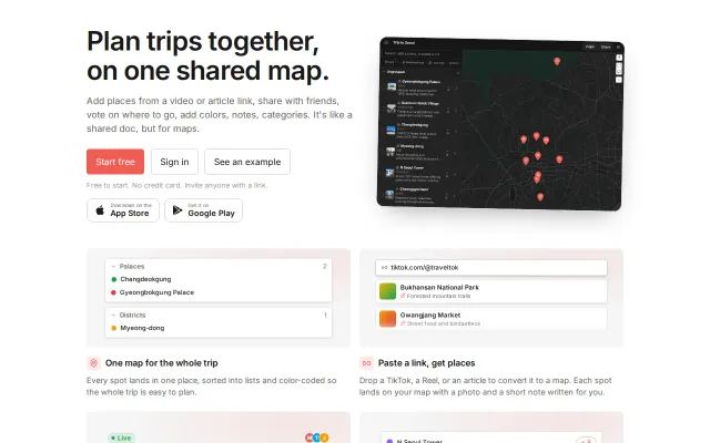
Dating app angle is cute, but Google Places matching already exists—this is a novelty use case.
CozyEye Candy
anupamchugh
105mo ago

Turning 98 live seismic feeds into a global 'quietest place' tracker is a genuinely clever data mashup.
Data journalists, curious developers, and anyone interested in global activity patterns
Windy.com · FlightRadar24 · EarthQuake.USGS.gov
This started as a personal curiosity and Claude helped me build it out.
The Quiet Map reads 98 broadband seismometers from around the world every hour. Ground vibration in the 4–14 Hz band is usually done by human activity - traffic, trains, footsteps etc. Each station is compared against its own history at the same hour of day, and the map names the place currently furthest below its own normal: the quietest place on Earth right now.
Hope you enjoy it and would love your feedback!
Dating app angle is cute, but Google Places matching already exists—this is a novelty use case.
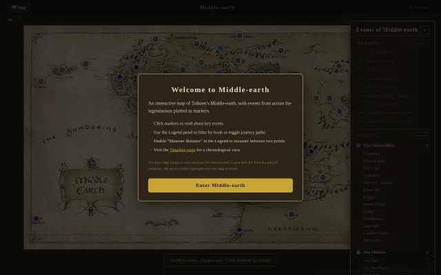
Swapped bloated SVG for tiled JPGs—7 zoom levels, zero runtime dependencies.
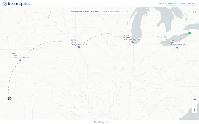
Maps traceroute hops visually, but Globalping already visualizes paths without the extra step.
Auto-parses TikTok and Reels into map pins when Wanderlog and Google My Maps exist.
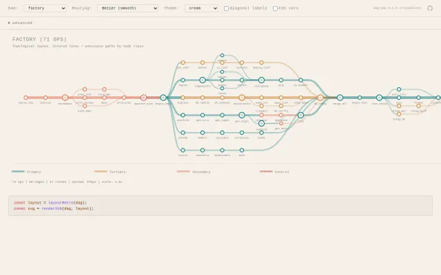
Metro map metaphor for DAGs is genuinely clever visualization nobody else does.
LLM-extracted lore plotted on tile-zoomed map built entirely on economy WiFi.