Developer Tools●Mid
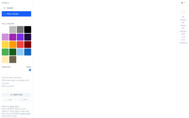
Free tool to mark points and polygon regions
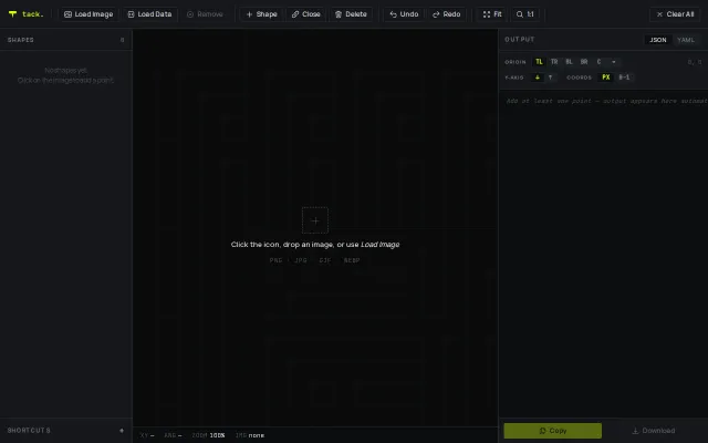
Solid image annotation tool, but LabelImg and CVAT already do this for free.
Solve My ProblemSlick
magikMaker
2171mo ago
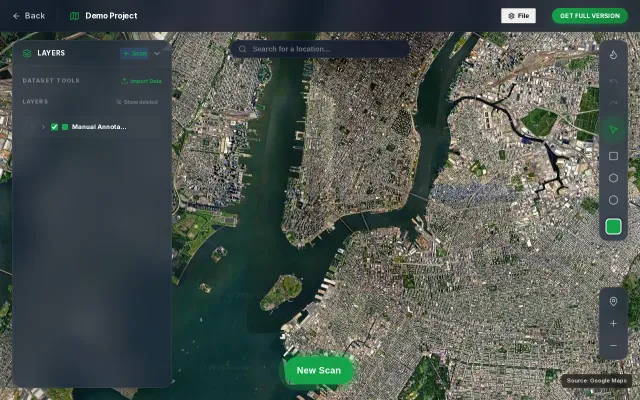
Draw a polygon on Google Maps, search for places within it by keyword, and accumulate results across multiple searches into a single exportable CSV. Uses the Google Places API — bring your own API key, stored locally in the browser.
You draw a polygon, run repeated keyword searches, and the app merges everything into one CSV — simple but immediately useful for gathering local business data. The UI includes handy touches like saving the API key to localStorage and a shareable URL, and the stack (Bun + React 19 + Tailwind) promises snappy frontend dev. Not novel — Google Places already offers the data — but the multi-search accumulation + one-click export removes a lot of friction; watch Google quotas and key security.
Marketers, local researchers, real-estate agents, GIS hobbyists, and developers who need bulk local-place data
Solid image annotation tool, but LabelImg and CVAT already do this for free.
Single-feature SVG polygon tool when Figma and Illustrator already do this.
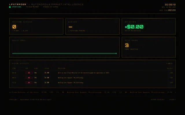
Agent-to-agent economy demo, but trades are small and logic is opaque.
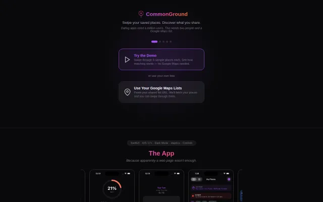
Dating app angle is cute, but Google Places matching already exists—this is a novelty use case.
Tile-based VLM inference with coordinate projection, but dense objects still need YOLO.
Yet another bulk social poster when Metricool and Buffer already handle CSV uploads.