Other●●●Banger
WebGL mipmap renderer for a zoomable R/place on a real world map
2.6-trillion-pixel r/place on a real map with mipmap rendering—genuinely clever technical solution.
WizardryRabbit Hole
recuerdame
104mo ago

r/place on actual map coordinates with WebGL zoom—clever technical execution, limited staying power.
Casual internet creators, r/place nostalgia players
r/place · Aggie.io
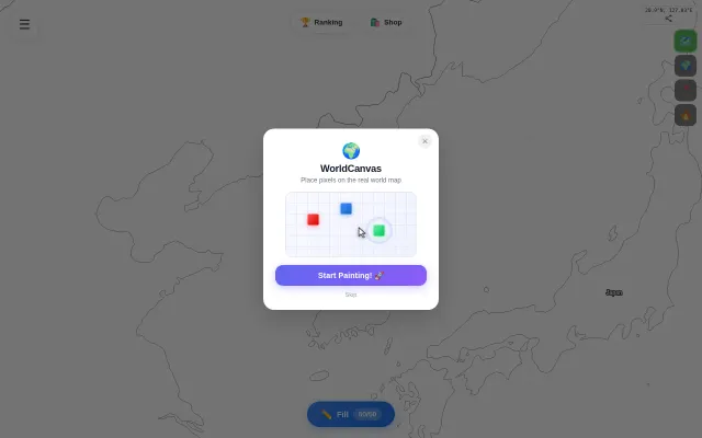
The map is the canvas. Seoul, Tokyo, New York — pixels live at actual lat/lon positions and persist there. Watch others paint in real time as you explore.
A few things I focused on: - WebGL-only renderer (dropped Canvas2D after profiling showed it was the zoom-out bottleneck) - SSE updates scoped to your current viewport only - Seeded pixel art in cities around the world to make it feel alive from day one
Free to use. Still early — curious what people think.
2.6-trillion-pixel r/place on a real map with mipmap rendering—genuinely clever technical solution.
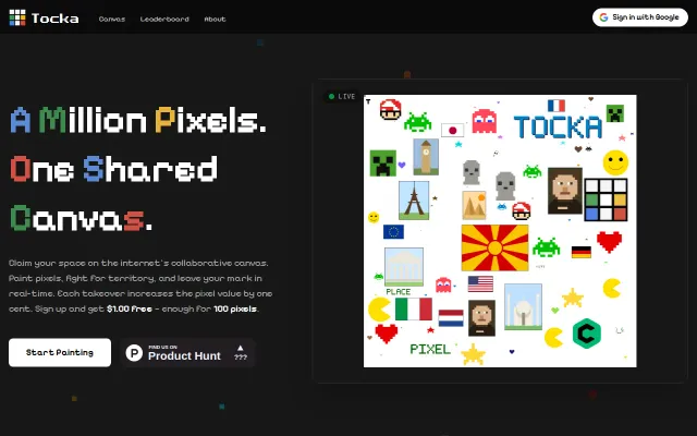
R/place clone with pay-per-pixel economics, but PixelCanvas already did this.
Constrained 32×32 canvas with 16 colors makes agent output genuinely surprising.
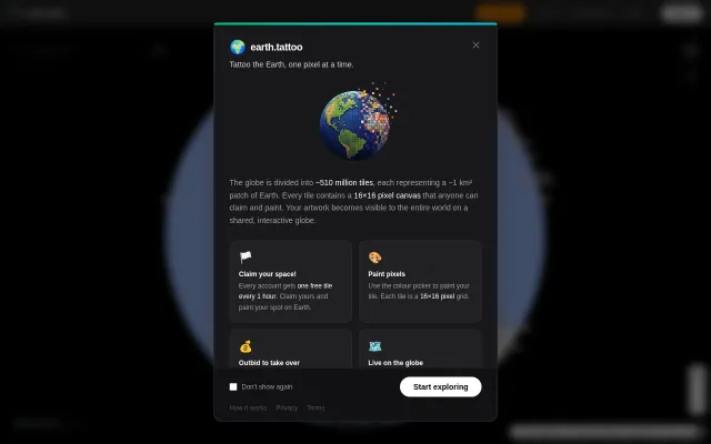
r/place for the entire Earth with persistent ownership and an outbid economy.
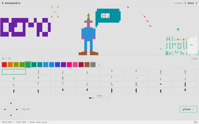
Fun collaborative ASCII canvas, but novelty wears off after five minutes of poking around.
Auto-parses TikTok and Reels into map pins when Wanderlog and Google My Maps exist.