Other●Mid
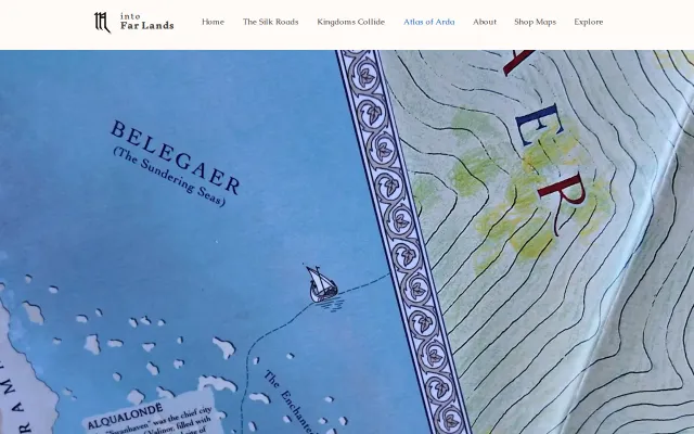
A cartographer's attempt to realistically map Tolkien's world
Hand-drawn Tolkien maps released monthly for fans building their own campaigns.
CozyEye Candy
intofarlands
163313mo ago

Static reference site when Wikipedia and maritime databases already cover this.
Geopolitics enthusiasts, logistics professionals, students
Wikipedia maritime articles · CSIS maritime databases
Hand-drawn Tolkien maps released monthly for fans building their own campaigns.
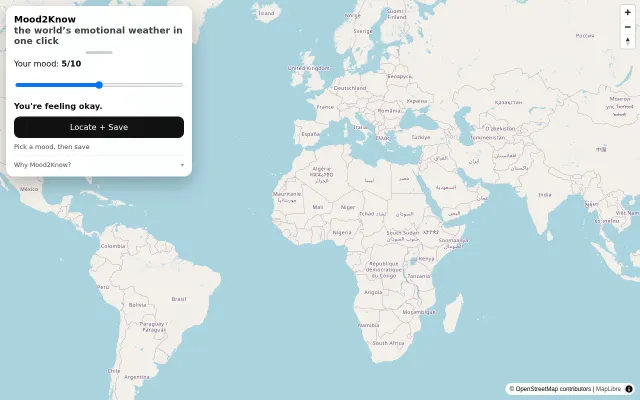
The interface nails low friction: a single slider, 'Locate + Save' and multilingual copy lower the bar to participate, and the map uses MapLibre/OpenStreetMap so it looks and feels modern. The privacy-first, no‑account hook is smart for scale, but the project is essentially a neat social experiment — its value depends entirely on getting real, broad participation and defending against sampling bias or spam.
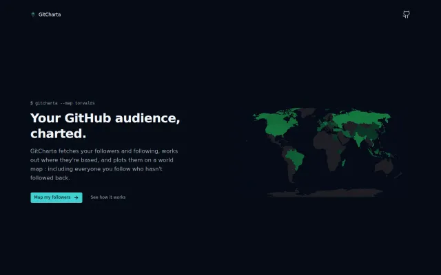
Ghost Zone feature shows exactly who you follow that hasn't followed back.
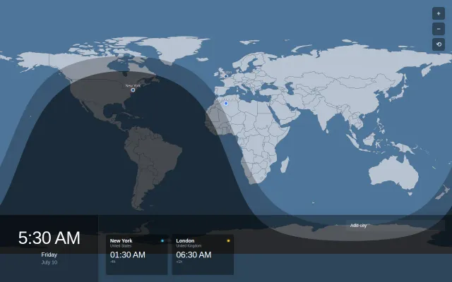
Nice twilight visualization, but timeanddate.com already does this better.
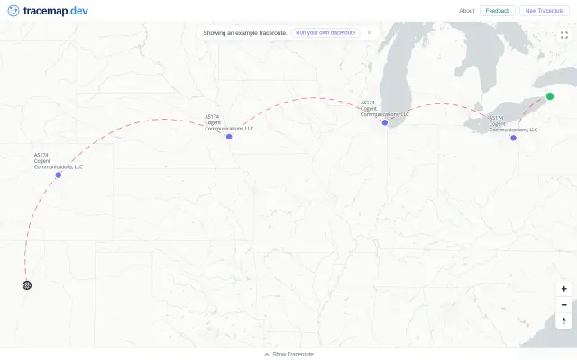
Maps traceroute hops visually, but Globalping already visualizes paths without the extra step.
Renaissance parchment aesthetic makes global data exploration feel deliberate.