Data●●Solid
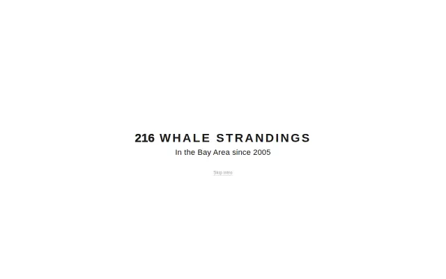
Bay Whale Strandings – interactive map of whale strandings in SF Bay
NOAA data visualized well, but Google Earth Engine already maps this.
Niche GemCozy
izgiuygur
102mo ago

Emanant de-centers the destination; it shows what’s reachable in N minutes on foot or by bike from where you stand, or any location you pin.
NOAA data visualized well, but Google Earth Engine already maps this.
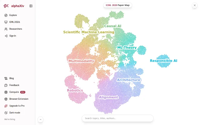
Clean paper visualization but Connected Papers and ResearchRabbit already do this better.
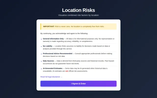
Policy preference toggles are clever, but NeighborhoodScout already does risk aggregation.
Zero production cost via conditional exports swapping to no-ops in production builds.
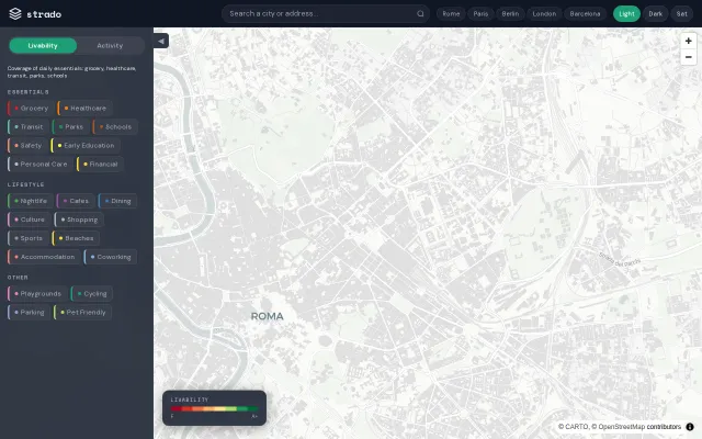
Hex-grid walkability scores beat Walk Score's coarse neighborhood averages.
Dating app angle is cute, but Google Places matching already exists—this is a novelty use case.