Infrastructure●●Solid

Route optimization API that solves fleet planning as a single problem
Dynamic geography clustering beats fixed zones for large-scale routing problems.
Solve My ProblemSlick
pantherolive
201mo ago
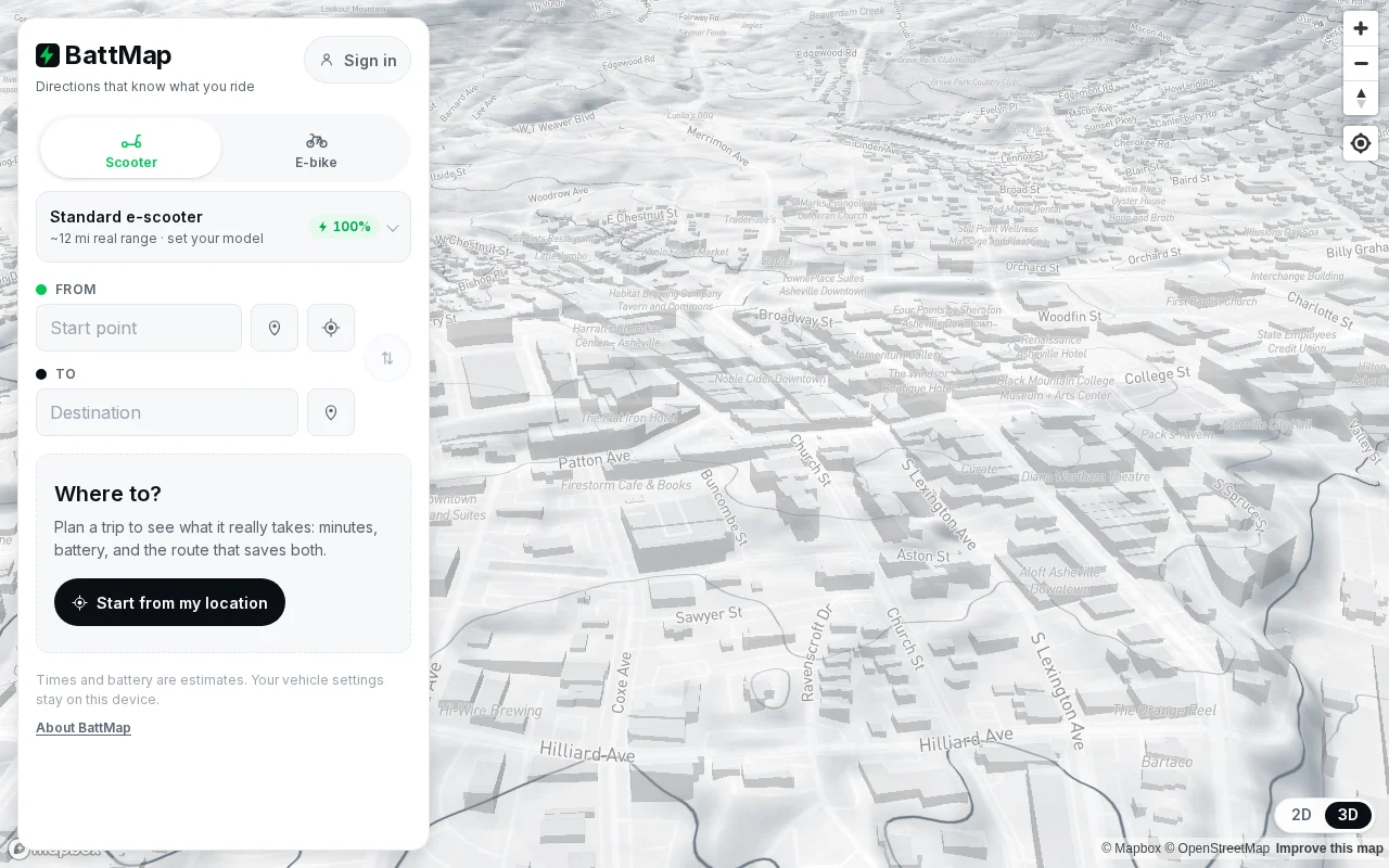
Battery-aware e-scooter routing that Google Maps doesn't offer for hilly cities.
E-scooter and e-bike riders in hilly cities
Google Maps · Citymapper · Komoot
Living in San Francisco is hilly. Google Maps is great for bike maps, but I wanted to know if my scooter could make it up the hills, how much battery it would burn, and if I could make it back home without recharging it.
Dynamic geography clustering beats fixed zones for large-scale routing problems.
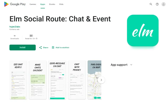
Five years of work, but geofenced chat + reputation system don't differentiate from Snapchat Maps or Meetup.
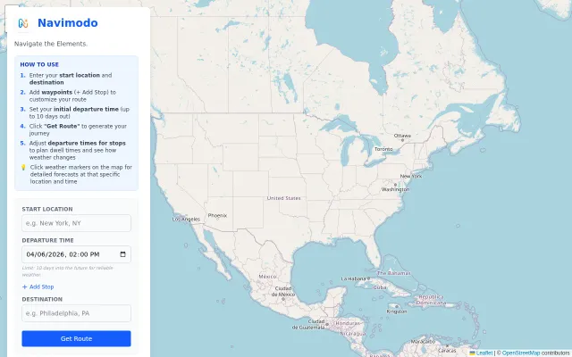
Weather-aware routing for winter travelers when Google Maps doesn't show conditions.
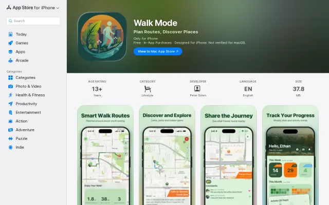
Another walking app in a crowded space — AllTrails and Strava already do this.
Philosopher personas for AI routing when CrewAI and AutoGen already do agent orchestration.
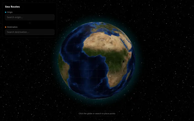
Pretty 3D routing globe, but real shipping uses bespoke routing and regulatory tooling.