Education●●Solid
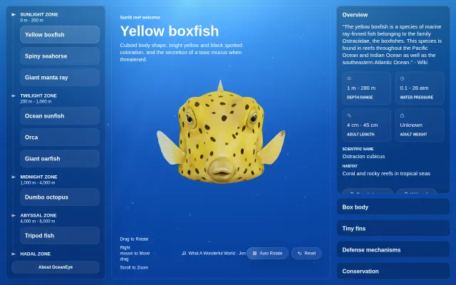
OceanEye – an open-source interactive 3D atlas of ocean life
AI-generated 3D ocean creatures with depth-zone organization, but models have visible flaws.
CozyEye Candy
woodydesign
201mo ago
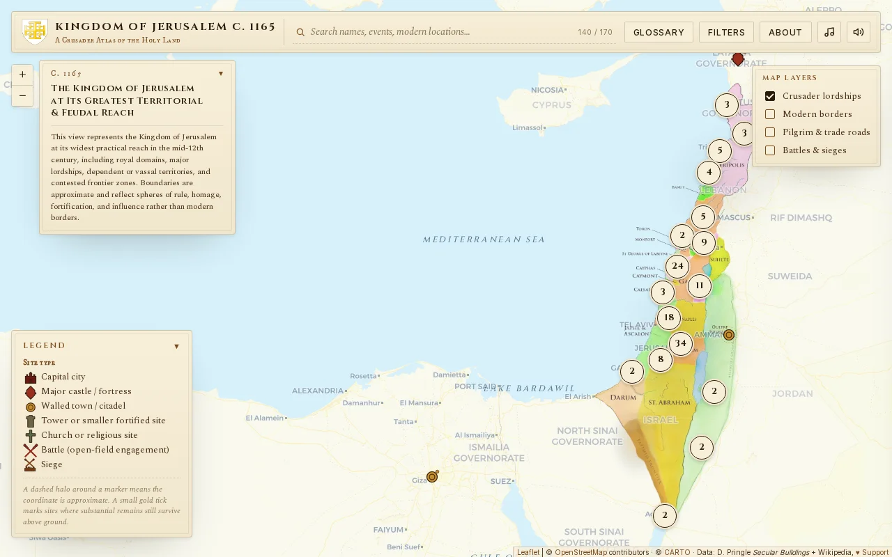
Hand-curated atlas mapping 170 Crusader sites onto modern geography with surviving remains.
History enthusiasts, students, and researchers
Omnes Viae · ORBIS · Pleiades
AI-generated 3D ocean creatures with depth-zone organization, but models have visible flaws.
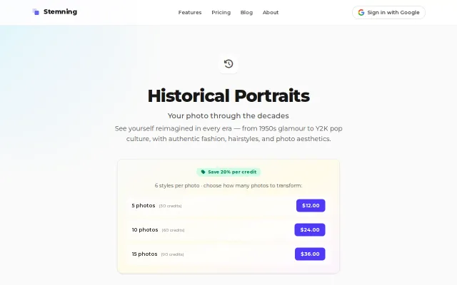
Another era-filter wrapper competing with Remini and countless TikTok trends.
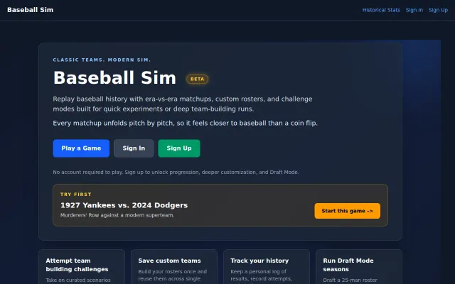
Pitch-by-pitch simulation feels closer to baseball than coin-flip alternatives.
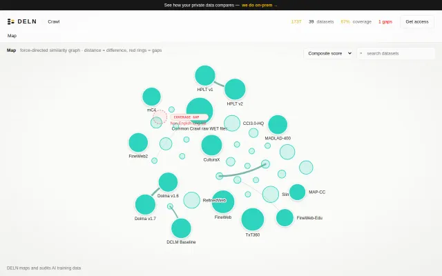
Force-directed dataset atlas with gap detection Hugging Face doesn't offer.
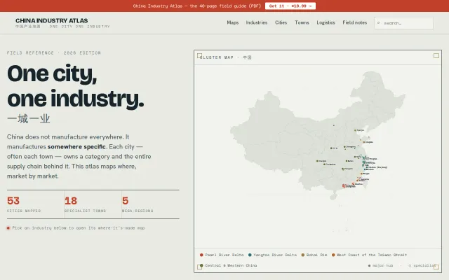
One city, one industry: maps China's manufacturing specialization by location.
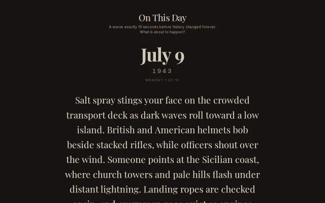
Atmospheric historical quiz with genuinely evocative scene-setting before each question.