Other●Mid
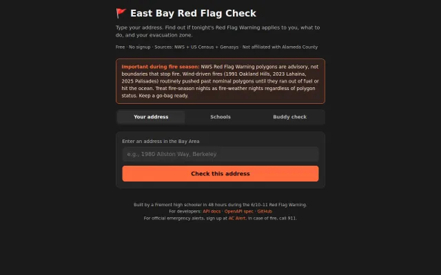
I built a Red Flag Warning zone-check tool for the East Bay in 48h
Geocoding lookup for East Bay fire warnings when county alerts go to everyone.
Ship It
vedant28t
1732d ago
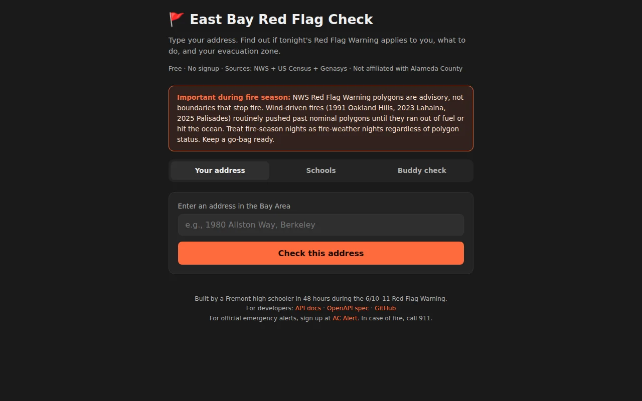
48-hour build during actual emergency closes alert-vs-polygon gap for half a million residents.
East Bay residents, especially those in fire-prone hills
FEMA App · Watch Duty · PulsePoint
Stack: TypeScript on Vercel edge functions, NWS api.weather.gov, US Census geocoder, Genasys Protect for evacuation zones. Free, no signup, no tracking, MIT licensed. Public REST API + OpenAPI 3.1 spec at https://redflag-check.info/docs. Source: https://github.com/vedant-f-is-ma/redflag-check.
Today an Oakland Firesafe Council director emailed me critiquing the "outside the polygon" framing as falsely reassuring — wind-driven fires don't respect polygons (1991 Oakland Hills, Lahaina, Palisades). I shipped a fix in an hour and the wording across every surface now reflects that. Open to any other critique.
Geocoding lookup for East Bay fire warnings when county alerts go to everyone.
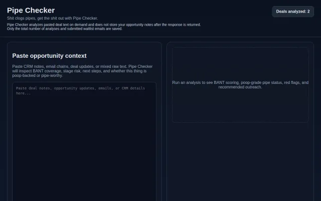
BANT checker for sales, but young sellers need coaching, not poop puns.
Local regex scanning beats AI ToS analyzers on speed and privacy.
Startup equity horror roguelike teaching ESOP manipulation through actual gameplay mechanics.
151 interconnected failure patterns with AI-era distortions already included.
Automates Tinder swiping, but several free extensions already do this.