Other●●Solid
I built a Red Flag Warning zone-check tool for the East Bay in 48h
48-hour build during actual emergency closes alert-vs-polygon gap for half a million residents.
Ship ItSolve My ProblemCozy
vedant28t
631mo ago
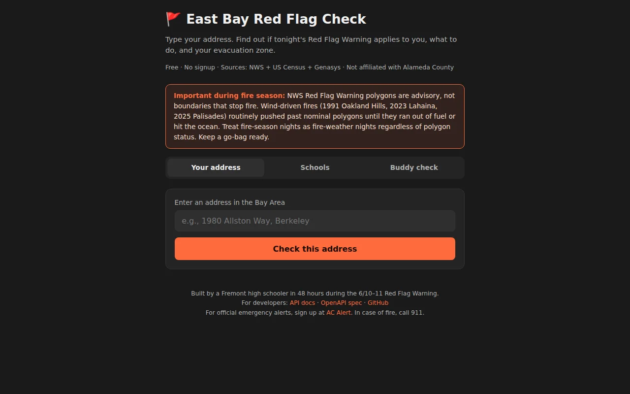
Geocoding lookup for East Bay fire warnings when county alerts go to everyone.
East Bay residents during fire season
AC Alert · NWS Warning System
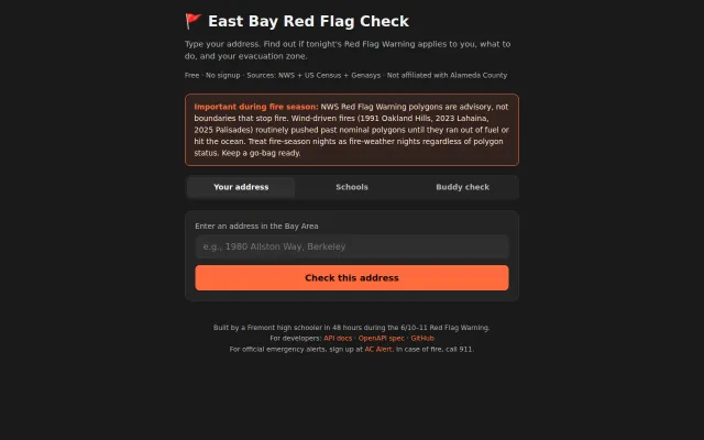
The actual NWS warning polygon only covers East Bay Hills (NWS zone CAZ515). Most people who got the text don't need a go-bag tonight. Some in the hills don't realize how close they are. So I built this tool - https://redflag-check.info/ mit licensed public github - https://github.com/vedant-f-is-ma/redflag-check
It does a few things - tells people if they are in the flagged zone, and also provides a way to check if a buddy is in flagged zone and send them a text. Everything without installing an app.
I heard back from Oakland Firesafe Council director about a gap in my understanding (and the tool). To my surprise, and through feedback, I realized that you cannot assume that only the flagged area is at risk. Adjacent areas are at risk too! Fires do not follow zone boundaries! I fixed the tool.
I built this in 48 hours to close that specific gap: type your address, get a yes/no on whether the NWS polygon covers it, your Genasys evacuation zone, tonight's wind + humidity at your point, a plain-English action checklist, a per-school decision view for East Bay districts, and a one-tap iMessage buddy-check template for a hill-neighbor at 10:30 PM.
48-hour build during actual emergency closes alert-vs-polygon gap for half a million residents.
BANT checker for sales, but young sellers need coaching, not poop puns.
AI assistant for what time is it in Madrid solves a problem that doesn't need AI.
Local regex scanning beats AI ToS analyzers on speed and privacy.
Another AI news aggregator promising unbiased curation in a crowded market.
Startup equity horror roguelike teaching ESOP manipulation through actual gameplay mechanics.